Programme
Walk / Guided tour
156 The meadows of the Zavelenberg
Nature / Rural
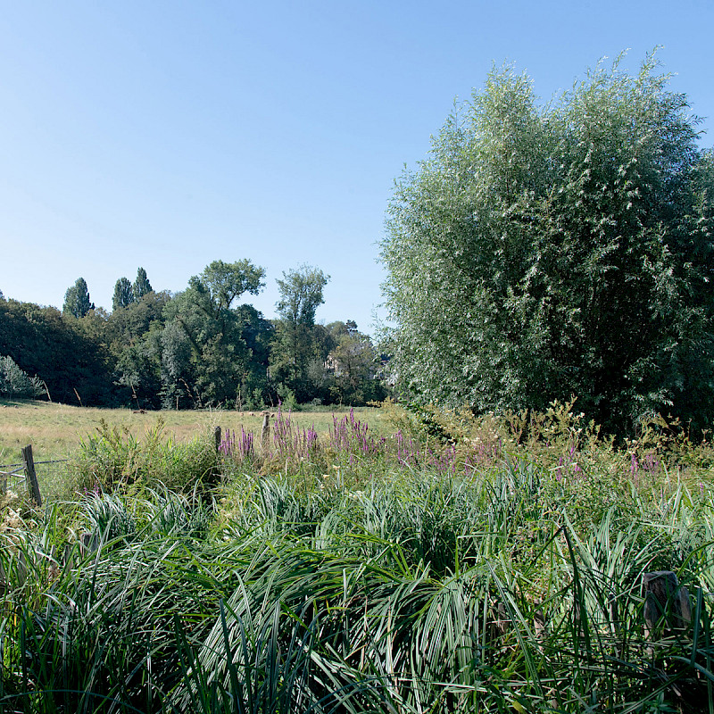
A rural relic a stone’s throw from the Pajottenland, the Zavelenberg owes its uneven topography to the extraction of Balegem stone, which had already deeply disturbed the site by the Middle Ages. These calcareous sandstone beds lay within sandy layers, explaining the place name: sand hill. A circular wooded hill, with a stream flowing at its foot, forms the highest point. Cleared early on, the Zavelenberg long presented a bocage-like landscape of pastures, wet meadows and even marshes, small cultivated plots, hedges and, later, vegetable gardens. The castle-farm attested in 1770 sadly no longer exists. Cut by a road and for a time threatened by a real-estate project, the site is now reduced to a sixteen-hectare remnant, fortunately listed in 1989. Today, cattle and sheep graze in meadows bordered by living hedges, alongside wooded areas and groups of poplars, all valuable biotopes for flora and fauna. (Listed since 26/04/1989)
In collaboration with Les moutons bruxellois.
Practical information
Saturday and Sunday from 10:00 to 16:00
rue de Termonde 122, 1083 Ganshoren
Advance booking required.
Toilets available